Planning Gift Deliveries With QGIS
In this post, I will document my journey into learning QGIS, a free and open-source geographic information system, with the goal of visualizing and calculating the total time required for me to deliver gifts to friends and relatives during special occasions.
Preparation
After installing QGIS 3.36 desktop version on my Windows PC, I proceeded to the QGIS Training Manual, to familiarize myself with the software.
Plugins
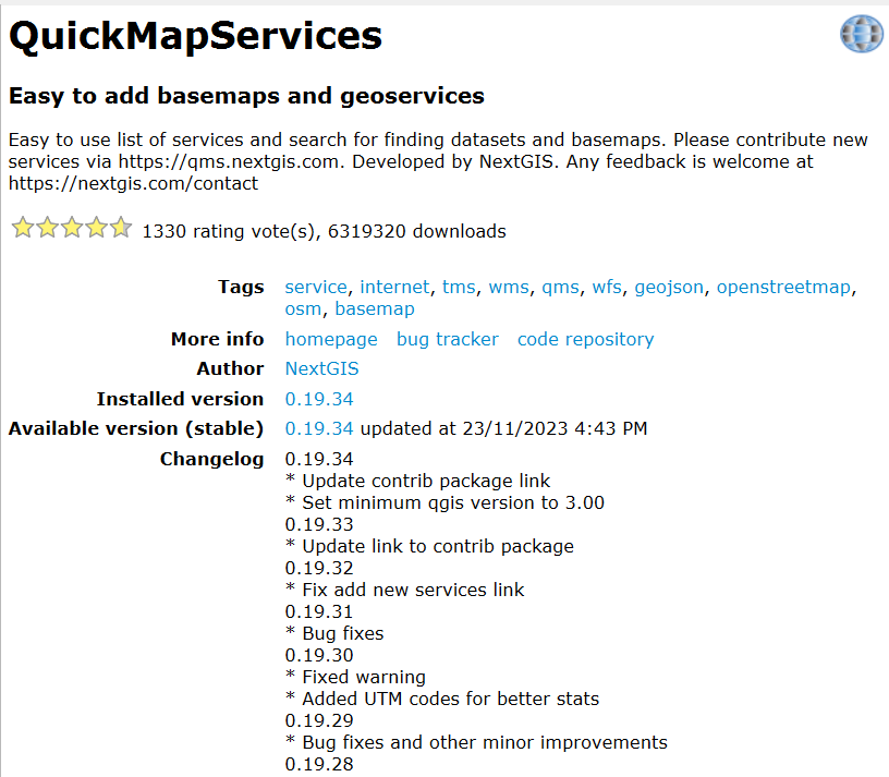
From the Plugins -> Manage and Install Plugins… menu, I searched for and installed the QuickMapServices plugin.
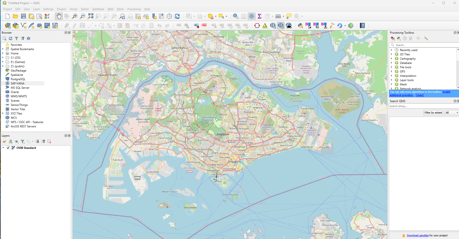
I then loaded the OpenStreetMap layer within QGIS via Web -> QuickMapServices -> OSM -> OSM Standard. A new OSM Standard layer was automatically created.
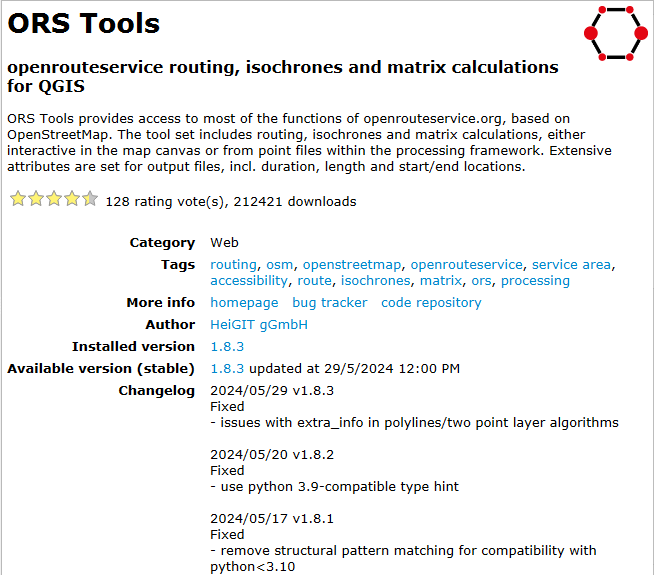
In addition, I installed the ORS Tools plugin.
Places Layer
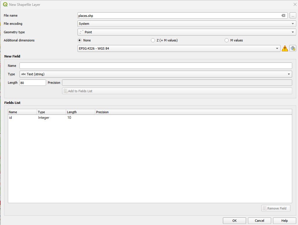
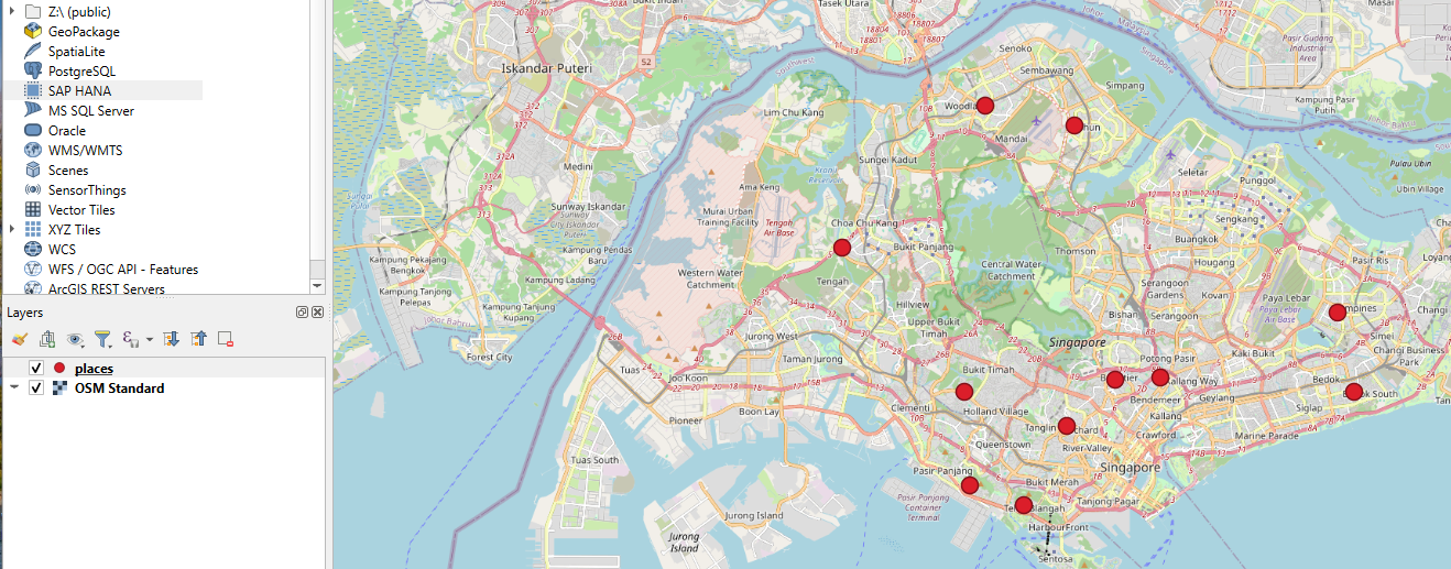
Next, I created a new shapefile layer from the menu, Layer -> Create Layer -> New Shapefile Layer…, to mark the locations where my friends and relatives reside.
After adding the points and changing their symbology, my map looked like this:
ORS Tools
To use ORS Tools, you need to sign up for an account at openrouteservice and configure it. Alternatively, you can self-host Openrouteserivce, a highly customizable and performant routing service written in Java.
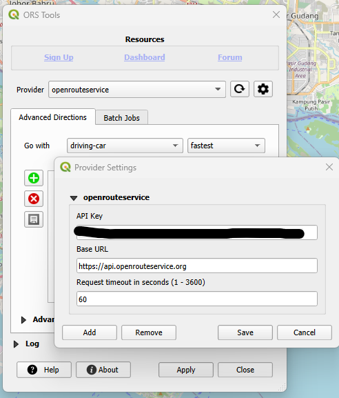
From the Batch Jobs tab in the Directions section, I clicked on the Points (1 Layer) button and configured it as shown below:
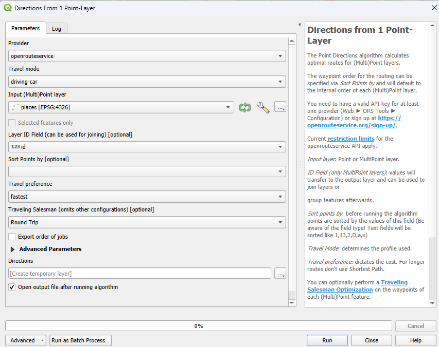
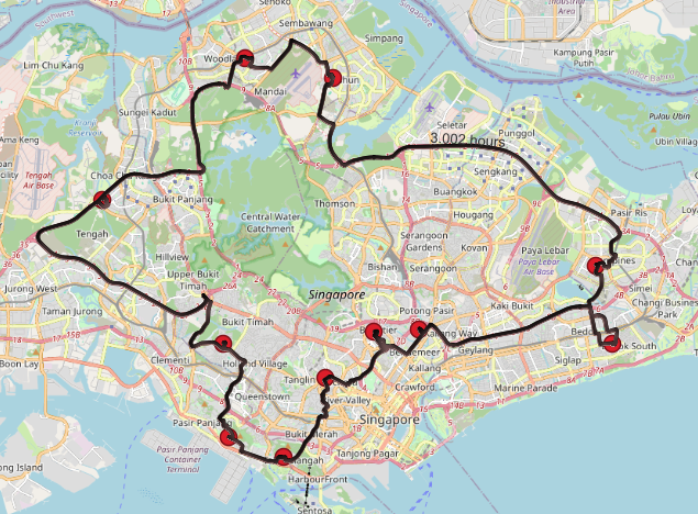
By clicking the Run button, a new Directions layer was created. After adjusting the symbology and labels, I determined that 3 hours is needed to complete the entire trip!
Optional : Export to Leaflet webmap
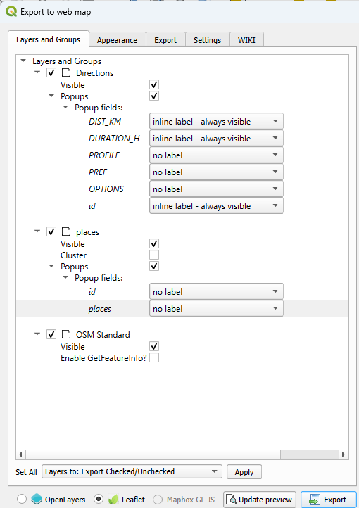
If you wish to export this travel plan, you can install the qgis2web plugin. To export, navigate to Web -> qgis2map -> Create web map.
After configuring the settings, click on the Export button. You may view my exported map here.
Conclusion
In conclusion, while my primary goal was to use QGIS for planning gift deliveries, this powerful tool can be applied to various other use cases. For instance, businesses can utilize QGIS for optimizing delivery routes, urban planners can map and analyze infrastructure, and environmental scientists can track and manage natural resources. The flexibility and extensive plugin ecosystem of QGIS make it suitable for a wide range of applications beyond personal projects. Whether you’re managing logistics, conducting spatial analysis, or creating detailed maps, QGIS offers the tools you need to achieve your objectives efficiently.